Home · How it advances
The northern limit
How the monsoon advances
After onset over Kerala, IMD tracks a moving line: the Northern Limit of Monsoon. Two official pages do not use the same normal date for covering the whole country, so both are quoted.
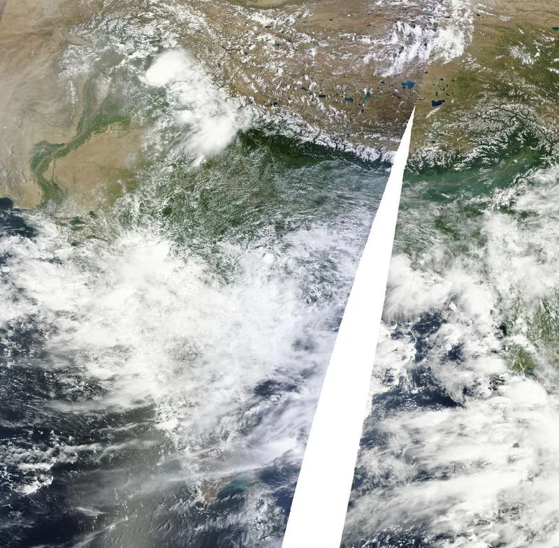
The Northern Limit of Monsoon, or NLM, is the northernmost limit of monsoon up to which it has advanced on any given day. [source] [source]
The FAQ says the southwest monsoon normally sets in over Kerala around 1 June, advances northwards, usually in surges, and covers the entire country around 8 July. [source] The 2026 season briefing uses that same 8 July normal: it says the monsoon covered the entire country by 9 July 2026, near the normal date of 8 July. [source]
The onset-and-advance criteria webpage says the monsoon covers the entire country around 15 July. [source] This site does not pick a favourite or split the difference. The desk and the fact-check log keep both wordings.
Further advance, the FAQ says, is declared based on the occurrence of rainfall over parts or sectors of the sub-divisions and on maintaining the spatial continuity of the northern limit. [source] Along the west coast, the position of the maximum cloud zone, inferred from satellite imagery, may also be considered. [source]
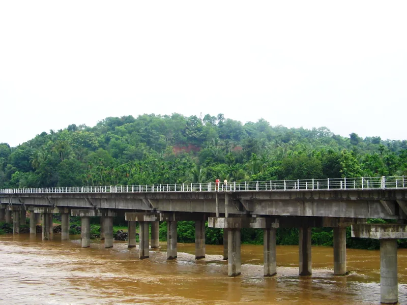
In 2026, the season briefing says the monsoon advanced over the South Andaman Sea and Nicobar Islands on 16 May, nearly six days earlier than the normal schedule, arrived in Kerala on 4 June, and covered the entire country on 9 July. [source] It also records delays of about 7–10 days in the advance over Maharashtra, Gujarat, Madhya Pradesh, Chhattisgarh and Odisha. [source]
Onset over Kerala is one official line. Covering the whole country is another. Neither line is a rainfall total for the June–September season.